Water Issues In Depth
Use Story Maps to explore many important water-related topics. With maps, data, multimedia content and interpretive information, we guide you through the topic.
Or, you may want to use one of our interactive applications (Apps) to dive deeper into a specific topic, like groundwater level changes in Arizona. We’ve combined reams of data on one topic and made it accessible all in one place.
Story Map Gallery
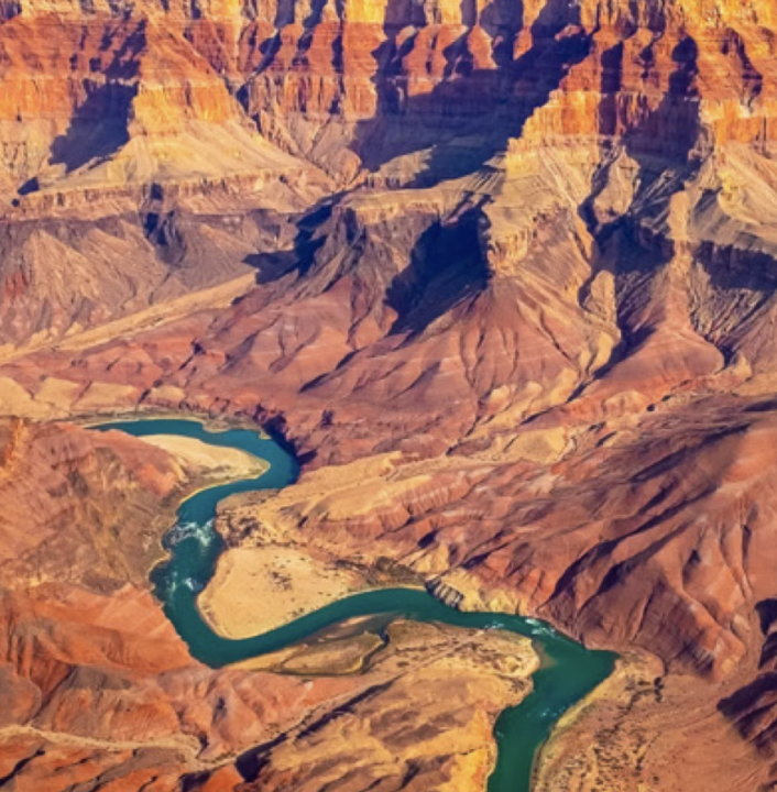
Colorado River Shortage: What it Means and What's Next
This Story Map aims to help you understand and explain the Colorado River shortage. It examines the Colorado River shortage and what it means for water conservation, residential water users, groundwater pumping, utility costs, urban growth, new water supplies, and water rights.

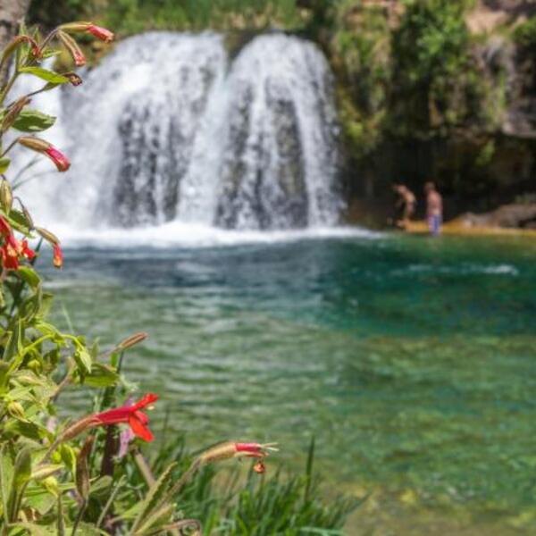
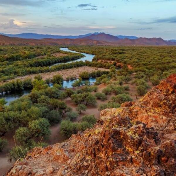
Arizona’s Most Precious Resource: Arizona's Water Story
The story of Arizona's water - where it comes from and how it's used - may be on your mind if you live in this unique ecosystem. With a growing population of more than 7 million people, the importance of our water stewardship grows with us.
Big Picture: Health and Function of Arizona Watersheds
This Story Map connects our water supply to the landscapes we depend on, both natural and built environments. It drills down into the complex relationships between land and water by examining forest health, wildfires, climate change, and our state's amazing biodiversity.
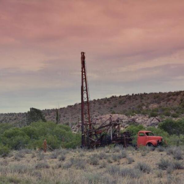
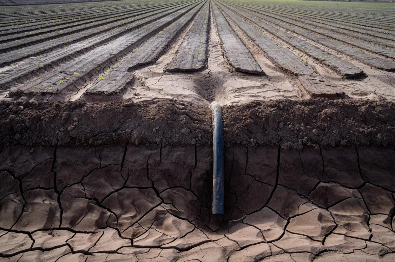
Rural Water in Arizona
Outside of Arizona's Active Management Areas and Irrigation Non-Expansion Areas, there is virtually no regulation of groundwater and no metering requirement. A landowner may drill a well and withdraw any amount of water for any beneficial use.
Arizona’s Stream Adjudications: Getting To Water Certainty
Certainty about water resources drives economic development and enables sustainable water management. Until claims in the Adjudications are resolved, Arizona will not have the water certainty it needs to plan for the future.

Colorado River Basin Coal Facility Study
Inventorying water use by coal power plants and coal mines in the Colorado Watershed.
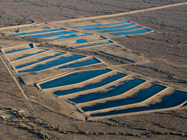
Long-Term Storage Credits: Arizona's Innovative Water Banking System
For nearly thirty years, Arizona's innovative system for creating Long Term Storage Credits (LTSCs) has allowed water providers to store vast amounts of water in local aquifers. Discover the fascinating world of water banking and Long-Term Storage Credits (LTSCs) in Arizona through our engaging and informative story map.
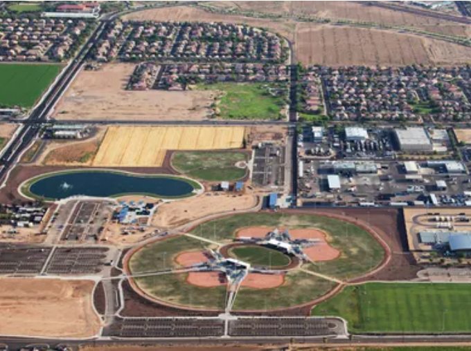
Water and Land Use in Central Arizona
Although water demand is commonly thought to be tied to population, it is more directly linked to land use. Local decisions on density, industrial and agricultural patterns and the amount of irrigated or natural open space all greatly impact a community’s water use intensity. Learn how land use choices drive water use intensity in Arizona's Sun Corridor and in your community.

Potential Water Augmentation Needs in Central Arizona
Central Arizona -- the Phoenix to Tucson region – is facing deeper cuts in Colorado River supplies and approaching the limits of ground development reliant on local groundwater. Yet, year after year, the region continues to attract more people and industry. In our newest report, Potential Water Augmentation Needs in Central Arizona, the Kyl Center for Water Policy explores whether central Arizona will need additional water supplies to meet existing demand and new demand from economic and population growth. This new analysis underscores how land-use choices rather than population growth are the primary driver of the region’s future water needs.
Groundwater Depletion in the Colorado River Basin
The Colorado River Basin is experiencing diminished flows in its rivers and streams. NASA satellites show how the Basin’s groundwater is being used up, too.
Topic-Focused Apps

Arizona Groundwater Dashboard
In warm, dry Arizona, aquifers take thousands of years to fill and human technology enables groundwater to be withdrawn far faster than nature replenishes it. The Arizona Groundwater Dashboard offers holistic insights across Arizona's 51 groundwater basins.
Gain more insights into effective groundwater management and explore various tools available on the dashboard to understand and address water sustainability challenges.
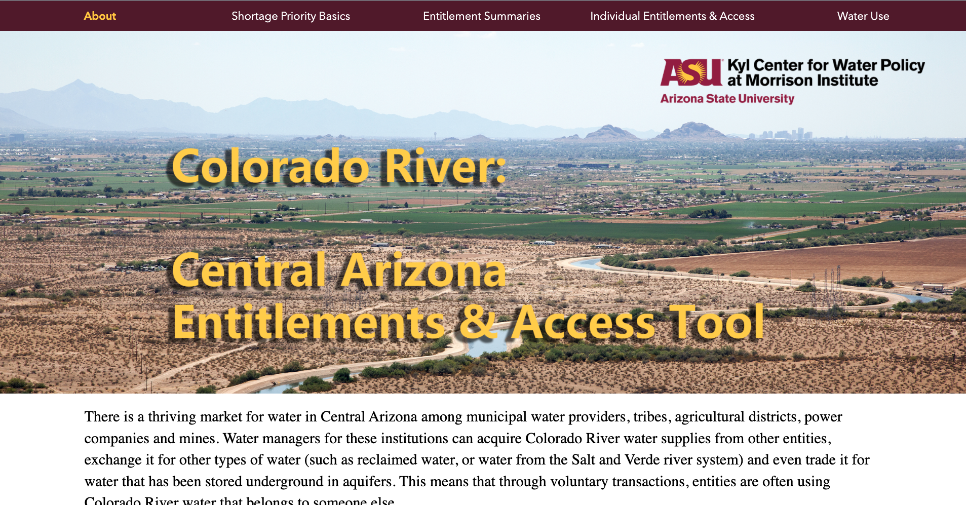
Colorado River Shortage: Entitlements and Access
Most of the pain of Colorado River shortages will fall on those who are using the water, rather than on those who are entitled to it. Understanding this nuance may help water managers discover additional, innovative ways to lease, trade, and exchange water to mitigate shortage impacts.
The Central Arizona Access and Entitlements Map visualizes contract entitlements to Colorado River water and also takes into account long-term leases and exchanges, showing who has access to that water.
Being clear about those entitled to water and those who actually have access to use it can help water policy leaders better frame complex Colorado River shortage issues, which will aid the general public's understanding of how their communities might be impacted.

Long Term Storage Credits (LTSC) in Arizona
The Kyl Center for Water Policy developed the LTSC Interactive Dashboard to explore the long term storage credits by credit holders per each facility type based on the latest data (2023).
Gain more insight into your community's water portfolio and how it is affected by Long-Term Storage Credits.
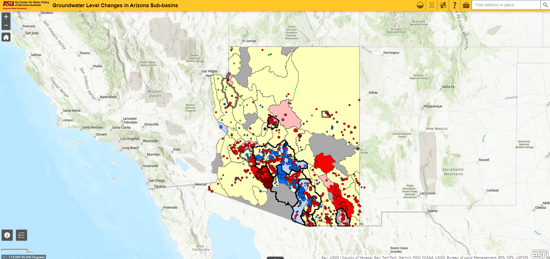
Explore Groundwater Level Changes in Arizona Sub-Basins
The Kyl Center for Water Policy developed the Groundwater Level Change Map to show groundwater level changes across the state's sub-basins for 1-year (2017-18), 10-year (2008-18), and 20-year (1998-2018) time periods.
Factors to consider when thinking about the health of a basin include geology, depth to water, land subsidence, and depth to bedrock.