New Map Tool Illustrates Arizona Water Issues
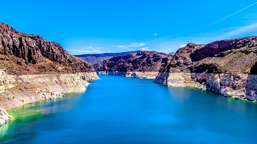
Dams, canals, wildlife areas, utility providers–water in Arizona is a complex topic. But a new digital tool from Arizona State University's Kyl Center for Water Policy aims to illustrate all of the layers of the state’s water issues.
The new Arizona Water Blueprint map tool allows users to explore hydrography, wildlife habitats, regulatory areas and infrastructure. It also illustrates potential future sources for augmenting the state’s water supply with groundwater or desalination projects.
In an online presentation to launch the new project, water policy analyst Susan Craig said the Kyl Center created the 44-layer digital map with input from state agencies, conservation experts and policymakers.