Designing the Arizona Water Blueprint Viewer
Water is coveted in arid Arizona, especially in light of the high demands placed on the resources by a population that has burgeoned from 6.39 million in 2010 to 7.37 million today.
There’s a thirst for knowledge about water topics by both policy makers and Arizona residents, leading the Kyl Center for Water Policy at Arizona State University (ASU) to launch the Arizona Water Blueprint website containing stories and maps on water resources and infrastructure.
“The center’s mission is to promote informed public conversation about water policy that gets us to good water stewardship,” said Sarah Porter, director of the Kyl Center for Water Policy. “We want elected officials at all levels to have access to nonpartisan, science-based, and historically contextualized information about water policy and water resources.”
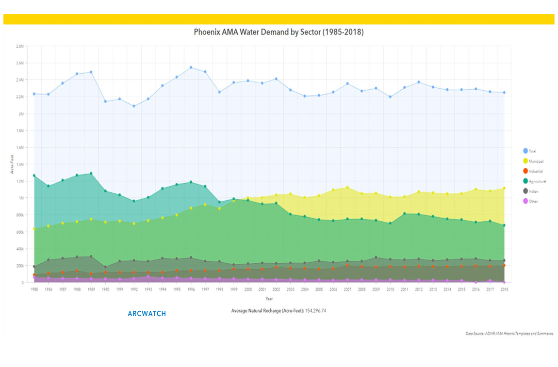
The applications on the site were created using Esri ArcGIS technology. The Kyl Center for Water Policy used ArcGIS Online and its configurable ArcGIS Web AppBuilder, along with ArcGIS Pro, to create the Arizona Water Blueprint Viewer, an interactive web application that provides a detailed picture of close to 50 data layers grouped under hydrography, infrastructure, political and regulatory, augmentation, and habitat tabs. Maps, dashboards, and pop-ups make the data very visual and informative.
Learn more about the Arizona Water Blueprint
Read about the Arizona Water Blueprint's features and how it came about in a recent article published by Esri, the company behind the powerful mapping tool ArcGIS. The Arizona Water Blueprint relies on ArcGIS to display its many layers of data and information.