GIS Application
Groundwater Level Change Map
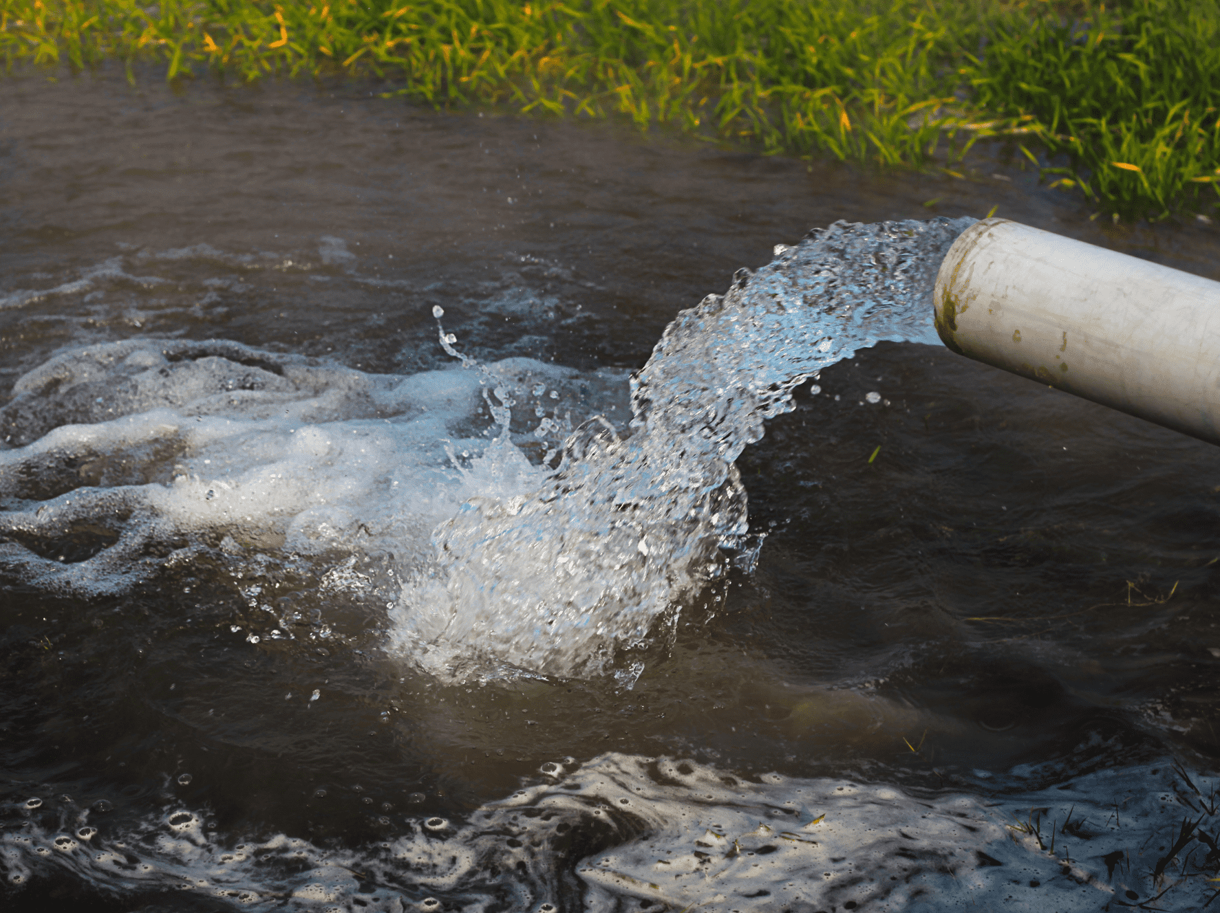
This interactive map shows how groundwater levels have changed in Arizona's 51 groundwater basins over 1-year, 10-year and 20-year periods.
This interactive map shows how groundwater levels have changed in Arizona's 51 groundwater basins over 1-year, 10-year and 20-year periods.